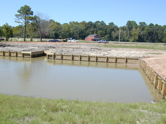
Wildwood Shores - Lot #2
These are the first pictures taken of the lakefront lot. The boat
slip was negotiated by our salesman and was thrown in free by the developer. The front corners
of the property run from about 4 feet left of the slip to the corner where the bulkheads meet - then
diagonally from that corner for about 21 feet. From the leftmost corner, draw a straight line toward
the center of the cul-de-sac and from that rightmost point, draw a line almost parallel to the first one to
a point just before the cul-de-sac starts to curve and you have the boundaries of the lot. The corners
near the cul-de-sac can be seen better in the last picture where three pink "flags" define the boundary.
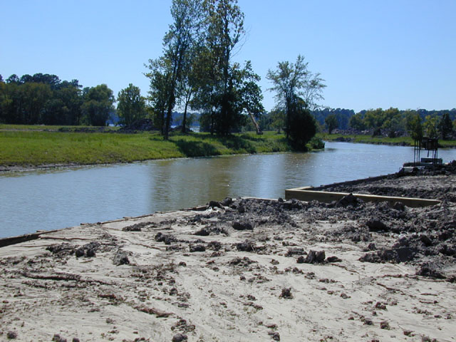
The second picture just shows a view from the front of the lot west toward the main lake.
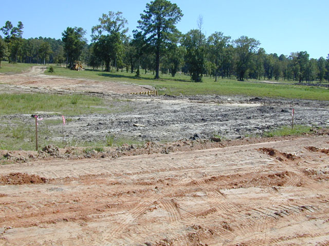
The third picture shows a shot of the whole lot (except for the right near corner) taken from the cul-de-sac.
The red dirt is part of the road which will eventually be black-topped.
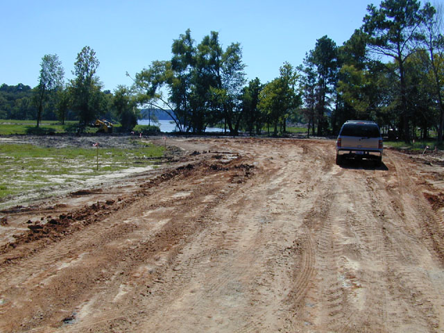
The last shot is taken from
the road looking straight down toward the cul-de-sac with the aforementioned lot-boundary flags to the
left. The first flag in the foreground is on our neighbor's lot but the next 3 flags denote the boundaries
of our lot.
Last update: 7/9/2004